

As 828 News Now reported, changing winter weather conditions have prompted official operational closures and detailed meteorological forecasts across the region, directly impacting local school schedules and creating hazardous conditions in the higher elevations as a significant winter weather system moves through the area.
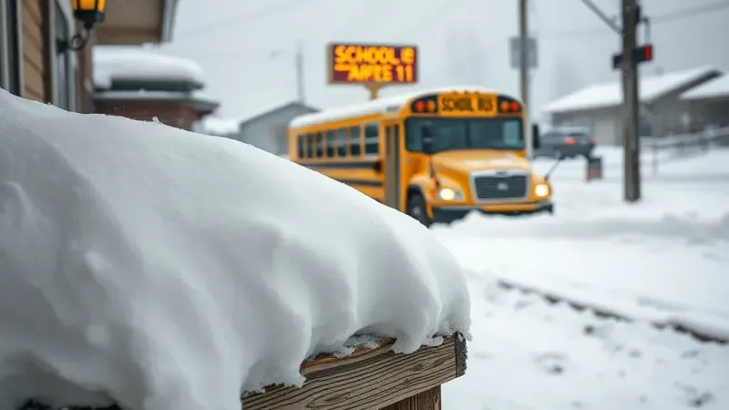
The local educational system has already begun adjusting to the incoming weather system by making preemptive decisions regarding student, faculty, and staff safety. According to the updates provided regarding institutional responses, Madison County Schools has taken direct action in response to the forecasted atmospheric conditions. Specifically, the official announcements confirmed that Madison County Schools closed Friday, halting normal classroom instruction, school bus routes, and campus activities to ensure the safety of students and staff who would otherwise need to travel on potentially hazardous roadways during the severe winter weather event.
Meanwhile, federal and local meteorological agencies are closely monitoring the exact scope, timing, and trajectory of the expected precipitation. For the broader mountain terrain and surrounding park zones, the National Weather Service forecasts two to four inches in the Smokies. This expected layer of fresh winter snow represents a notable accumulation for residents and visitors traveling through the parkways, valleys, and lower mountain passes within the national park and adjacent areas.
Higher mountain elevations are slated to receive substantially heavier totals from the ongoing winter storm system. Offering a more localized and detailed perspective on these elevated areas, Hunter Ward anticipates nearly a foot near Mount LeConte and Kuwohi. These remote, rugged, and high-altitude mountain peaks will undoubtedly bear the brunt of the heavy snowfall, creating deep snowpacks and extremely difficult winter terrain for anyone monitoring or navigating the high country in the immediate vicinity.
In addition to the accumulating snow, atmospheric conditions are expected to remain turbulent, windy, and brisk across a much wider geographic area. High winds are strongly anticipated to accompany the advancing winter system as it progresses across the landscape. In relation to these strong atmospheric gusts, the National Weather Service warned that winds might exceed thirty mph across Western North Carolina. The combination of sustained high winds, dropping temperatures, and accumulating snowfall is expected to influence conditions significantly throughout the entire zone, affecting both routine daily operations, local infrastructure, and overall travel safety as the winter weather system continues to impact the region.